
By Lawrence Belanger
Local Journalism Initiative
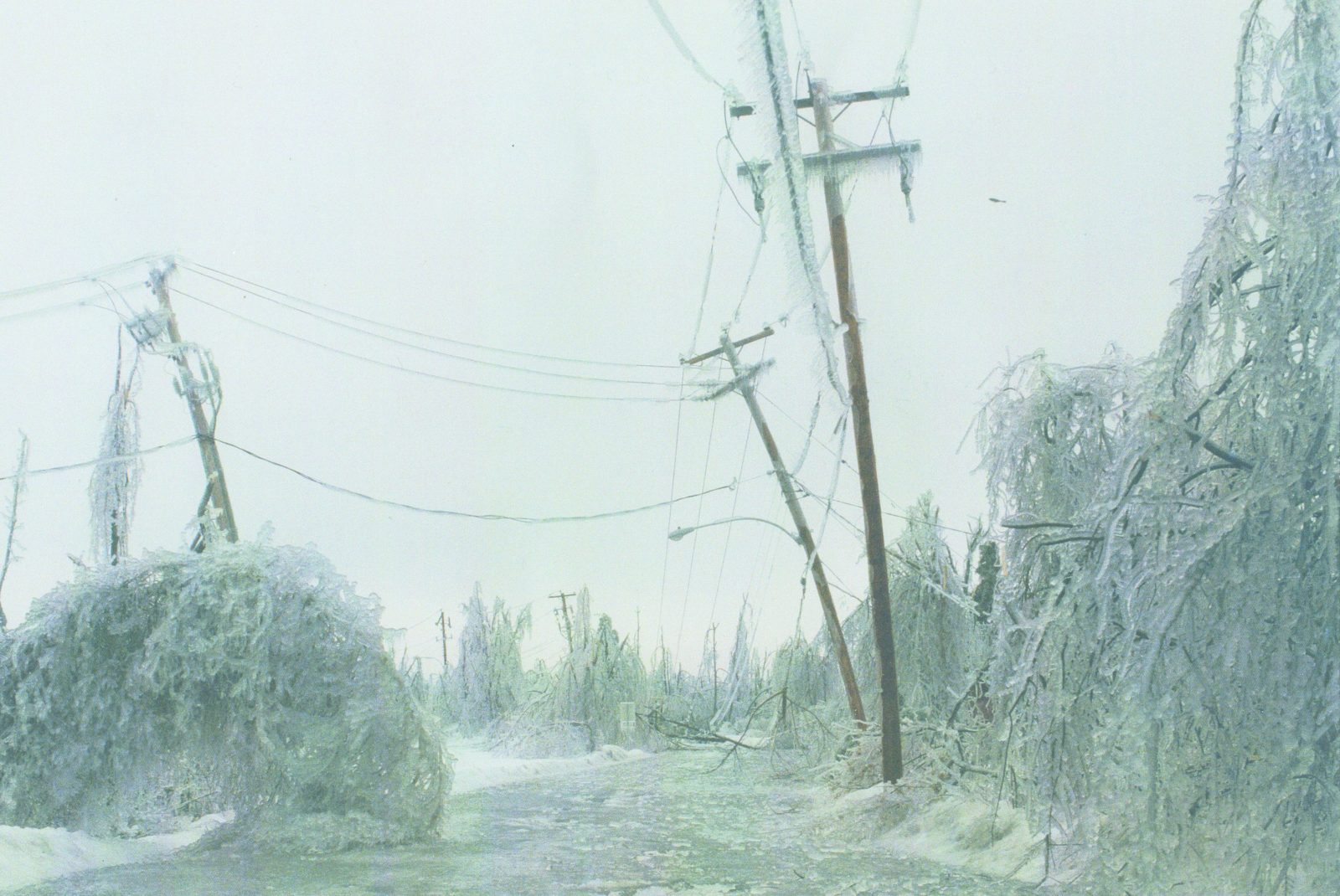
The Townships are in for a little reminder of the 1998 ice storm if forecasts for the rest of the week are accurate. Local weather reports forecast that a winter weather system will move into the area late Wednesday. Andrew Retchless, a local weather enthusiast, recalled “Ice Storm ‘98” in a post to his “Retchless Weather Services” Facebook page, mentioning “eerily similar” atmospheric conditions to 25 years ago, almost to the date.
Speaking with The Record over the phone, Retchless says “we’re gonna be right on the dividing line between rain, ice pellets and snow.” Things should “get white again,” he adds, with up to 5cms of snow possible through Thursday. He explains what is known as the “upslope snow effect” will cause hilly regions like ours to produce extra snow, as high humidity in the lower atmosphere is pushed up into the colder air in higher elevations, condenses and turns into snowfall.
To make his observations, Retchless checks the National Weather Service’s Burlington, VT office for field observations. In comparison to the CBC or Climate Canada people, who Retchless says might be working in Montreal off of remote observations and computers, the meteorologists are on the ground at Burlington Airport, giving them a better perspective. “There’s a direct translation between their microclimate and ours,” says Retchless. Compared to the rest of the region, such as Sherbrooke proper and Granby, which are mostly flat and open, Lennoxville and places in the hills are more akin to northern Vermont.